

BioJalisco Species Identifier
AI-powered species identification for conservation researchers in Mexico — photo in, verified species data out
Video Walkthrough
Screenshots
1 / 10

The Challenge
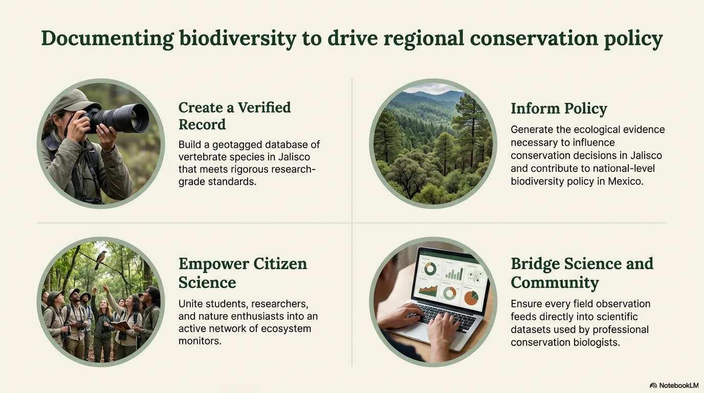
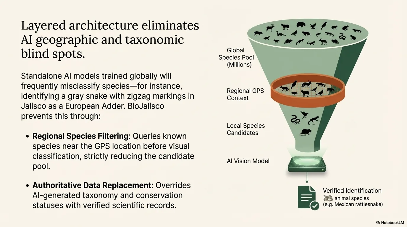
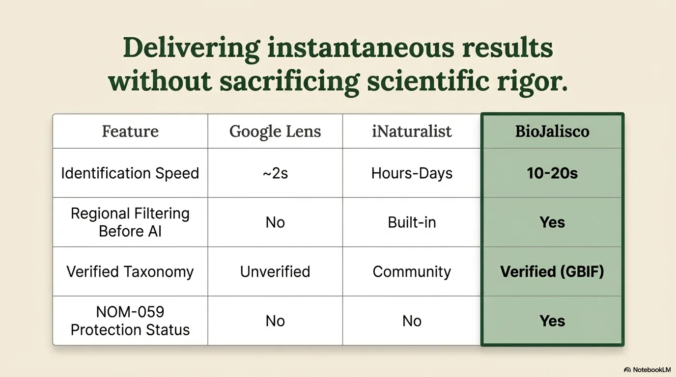
Conservation biologists in Jalisco encounter thousands of species during fieldwork but lack rapid identification tools with verified data. GPT-4o Vision alone frequently misidentifies species without geographic context. No existing tool combines AI vision, regional species data, global taxonomy verification, and Mexico-specific conservation status (NOM-059, endemic classification) in one flow.
The Solution
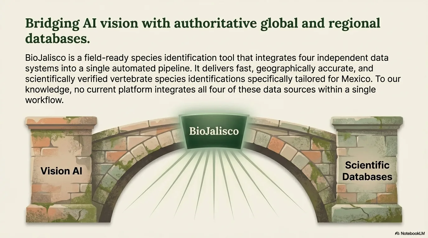
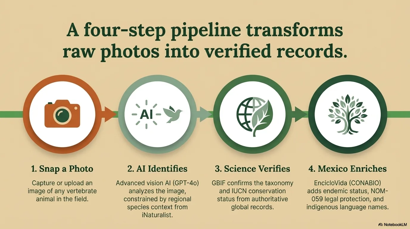
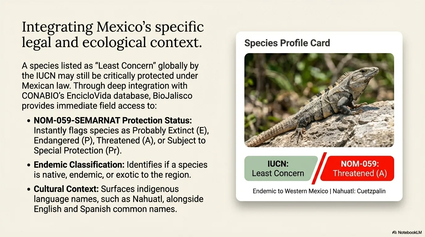
BioJalisco chains five independent data sources into one identification flow. It extracts GPS coordinates from photo EXIF metadata (stripping them for privacy), reverse geocodes the exact location, and feeds that context to GPT-4o Vision so identifications are grounded in regional reality instead of global visual lookalikes. GBIF then overlays verified taxonomy and IUCN status, while CONABIO/EncicloVida adds Mexico-specific data — endemic classification, NOM-059 protection, and indigenous-language names. Verified-data badges keep authoritative sources clearly separated from AI-generated content, and graceful degradation lets the app run on just an OpenAI key.
Key Features
- Five-API pipeline: iNaturalist context + GPT-4o Vision + GBIF verification + EncicloVida/CONABIO enrichment + Nominatim reverse geocoding
- EXIF GPS extraction from photo metadata for precise location-aware identification (proven: corrected Broad-billed Hummingbird to Cinnamon Hummingbird with accurate coordinates)
- Reverse geocoding via OpenStreetMap Nominatim: country, state, region, municipality, city displayed in Data Sources
- Verified IUCN Red List status and taxonomy from GBIF backbone (not AI-generated)
- Mexico-specific data from CONABIO: endemic/native/exotic classification, NOM-059 protection status, indigenous language names
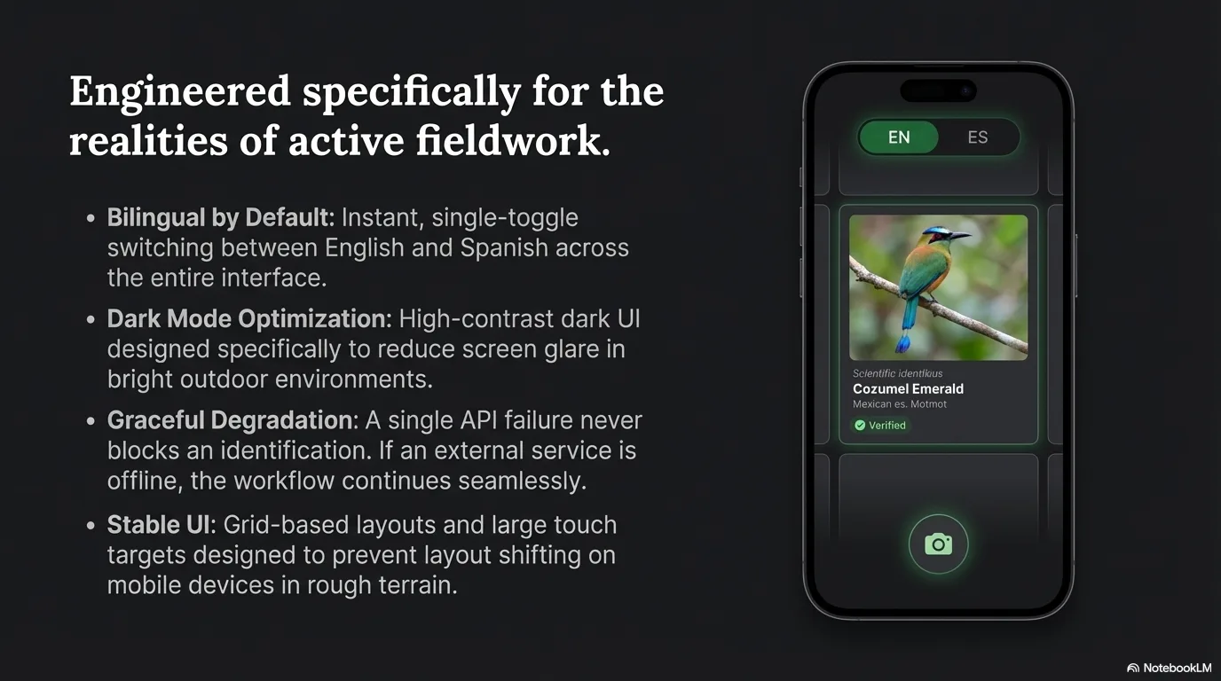
- Explore/Research dual-mode tab system: casual users see About + Habitat + Similar Species; scientists see Taxonomy + Conservation + Data Sources
- Bilingual (EN/ES) with dark/light theme, community observation gallery, and EXIF privacy stripping
- Graceful degradation: works with just an OpenAI key, enriched with optional services
Results
- Five-API pipeline returns verified taxonomy, IUCN status and NOM-059 conservation data
- EXIF-based location proven to correct real misidentifications (Broad-billed → Cinnamon Hummingbird)
- Verified taxonomy and IUCN status sourced from GBIF and CONABIO, not AI guesswork
- Dual-mode interface serves both casual explorers and working scientists from one result
- Production deployment runs on any camera phone with zero-config minimum setup (OpenAI key only)
Related Projects

Converso AI — Bilingual AI Front Desk & Sales Assistant
Bilingual AI chatbot platform for service businesses — handles front desk and sales conversations 24/7

NY AI Chatbot
AI chatbot for a coaching business — turns after-hours website visitors into booked calls
MarketSignal — Google Review Management & Local Competitive Intelligence
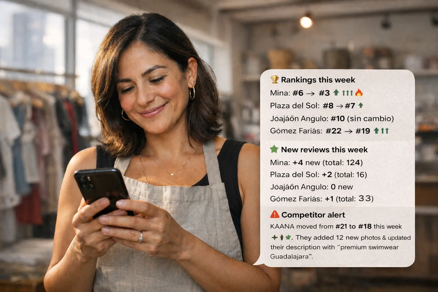
Google review management and competitor tracking — AI-drafted replies plus one weekly action item, delivered to WhatsApp
Have a similar challenge?
Let's talk about how a solution like this could work for your team. Free call, no pitch.
Book a Free Call